
Marine Sensing for Coastal Management
Coastal monitoring systems for shoreline protection, erosion tracking, flood warning, and climate adaptation planning. Real-time wave, water level, and sediment transport data for evidence-based coastal engineering.
3 use cases in Coastal Management
Coastal Management
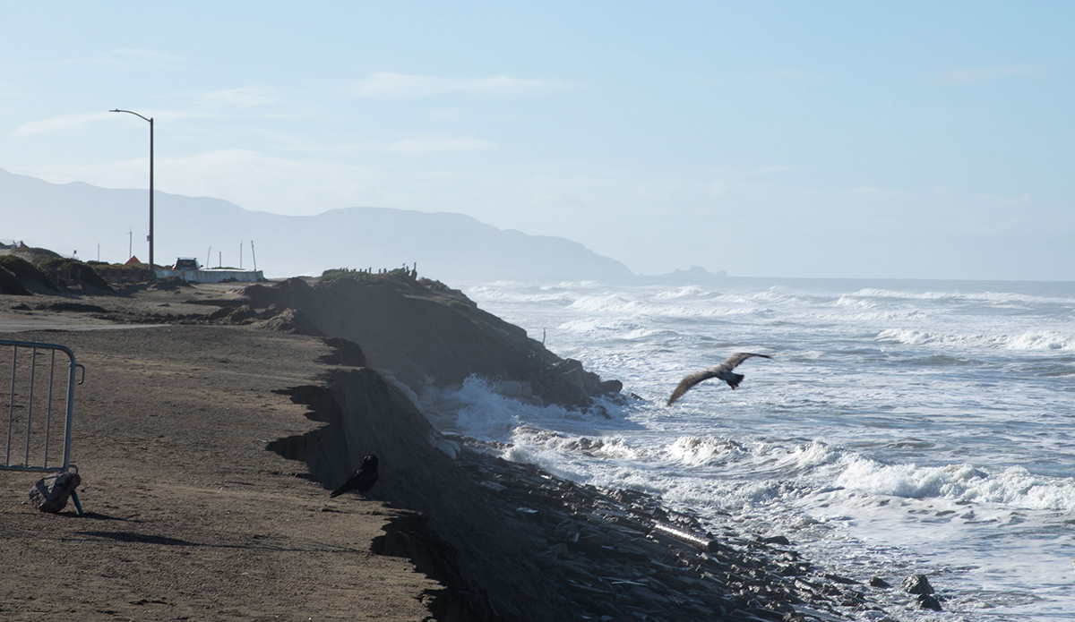
Wave Energy and Water Level Monitoring for Erosion Assessment
Continuous wave and water level records classify erosion-driving events against program thresholds, triggering post-event surveys and separating storm impacts from seasonal trends.
View details
115
Coastal Management
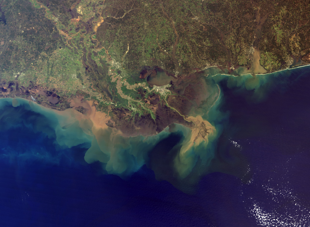
Baseline Metocean Data Collection for Coastal Construction Permits
Continuous pre-construction monitoring documents wave, current, and turbidity baselines that anchor delta-above-background compliance throughout the permit lifecycle.
View details
56
Coastal Management
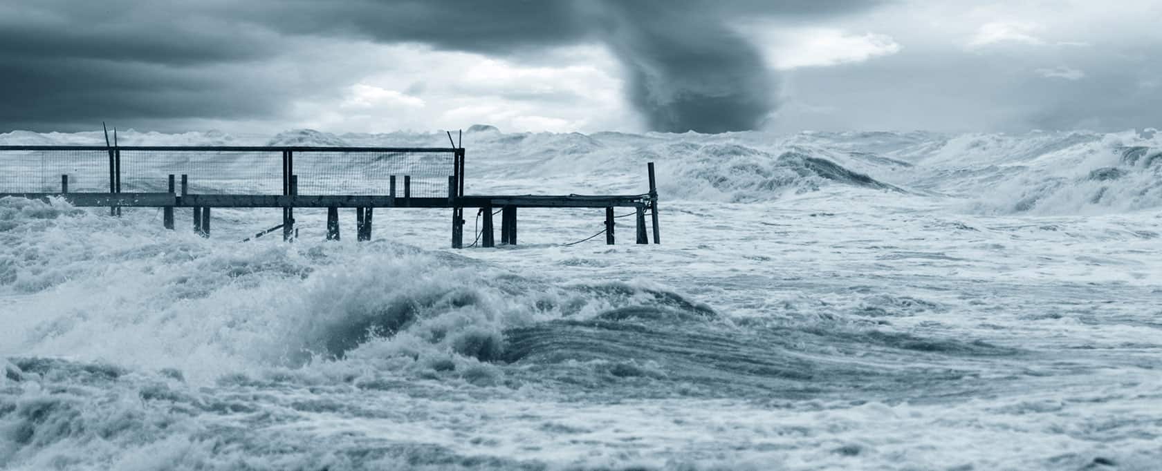
Real-Time Storm Surge Detection and Coastal Flood Warning
Distributed sensors capture every component of total water level, from surge and tide to wave runup, enabling threshold-based flood warnings and overtopping alerts.
View details
206