Baseline Metocean Data Collection for Coastal Construction Permits
Continuous pre-construction monitoring documents wave, current, and turbidity baselines that anchor delta-above-background compliance throughout the permit lifecycle.
What You'll Achieve
Storm-Inclusive Baseline Documentation
Captures turbidity, wave, and current conditions across calm and energetic periods, eliminating calm-bias gaps that undermine legal defensibility.
Real-Time Delta-Above-Background Compliance
Pairs background and compliance stations with live telemetry so construction teams detect exceedances as they happen, not days after a boat visit.
Compressed-Timeline Coverage
Autonomous stations collect from deployment day, maximizing baseline coverage even when permit windows compress the collection period to weeks.
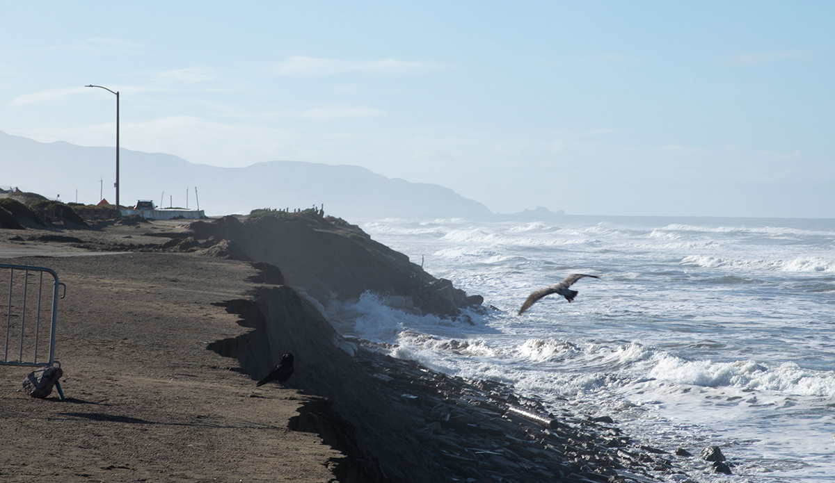
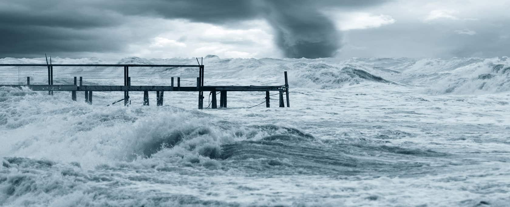
A Calm-Weather Baseline Cannot Survive a Storm-Season Complaint
Coastal construction permits hinge on a single dataset: the pre-construction baseline. Turbidity compliance during construction is measured as a delta above background (the difference between ambient conditions and readings near the work), so the quality of the background record directly determines the project's legal exposure. A baseline gathered only during calm weather cannot defend against complaints triggered by storm-driven turbidity. If natural resuspension events are missing from the record, every elevated reading during construction looks like a permit violation.
Traditional baseline collection depends on periodic boat visits with grab samples and short-duration data loggers. These snapshots miss the natural variability that defines background: storm-driven turbidity spikes, seasonal current shifts, wave events that resuspend sediment without any human activity. Retrieving logged data requires vessel mobilization, meaning weeks can pass before gaps are discovered. Construction-season permit windows compress timelines further, often to weeks rather than months, producing a dataset too sparse and too calm to withstand scrutiny.
Paired Stations That Build a Complete Background Record
What Gets Deployed
Continuous sensor stations go into the water at two locations: one at a background reference site beyond the influence of planned construction, and one at the future compliance monitoring point, typically the seaward edge of the permitted mixing zone. Both capture turbidity, currents, and water level around the clock. The background station adds wave and wind sensors to characterize the full metocean forcing environment. Real-time telemetry transmits measurements continuously, so teams confirm data capture during storm events without dispatching a vessel, closing the gap that makes logger-based programs vulnerable to undetected data loss.
What the Data Reveals
Over weeks of uninterrupted recording, the baseline begins to reflect the site's true environmental range rather than just fair-weather conditions. Calm-weather turbidity establishes the lower bound, but the legally decisive entries come from storm events, when wave energy and current acceleration resuspend bottom sediment and natural turbidity spikes well above its fair-weather floor. Because both stations operate simultaneously, the pre-construction period also builds a correlation record proving the background station accurately represents conditions at the compliance location. This statistical relationship, documented before any construction activity, is the foundation of every delta-above-background calculation that will follow.
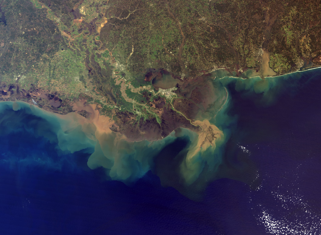
Current and wave records add essential context that turbidity alone cannot provide. Transport pathways show how suspended sediment disperses under different tidal stages and wind conditions, revealing where the mixing zone actually forms rather than relying on model predictions alone. Wave energy records link natural resuspension to specific forcing thresholds, creating evidence that becomes decisive if a regulator questions elevated readings after a storm coincides with active construction.
What This Enables
With a baseline spanning calm, moderate, and energetic conditions, the permit applicant holds a defensible reference dataset before the first piece of equipment enters the water. During construction, the background station continues streaming live ambient data, the real-time reference against which compliance readings are compared. When turbidity at the compliance station exceeds the permitted delta above background, automated alerts reach the construction team within minutes, enabling operational adjustments such as repositioning discharge or pausing dredge activity before a formal violation accumulates. The complete record — pre-construction baseline, construction-phase background, and compliance station measurements — forms a continuous chain of evidence retained throughout the project and available for post-construction defense.
Case Study
How Luode streamlines the design and maintenance of offshore wind sites with the Spotter Platform
Luode deploys fleets of Spotter systems at offshore wind sites throughout the Baltic Sea to collect wave data at scale. This real-time data supports technical site assessment and design, and ensures that maintenance is conducted safely and efficiently.
See full example
Recommended Systems (2)
Because turbidity compliance follows the delta-above-background methodology — comparing construction-phase readings against an ambient reference — the monitoring approach must separate the background measurement from the compliance measurement. Two paired stations serve distinct legal roles: the background station documents what conditions would be without construction, while the compliance station captures what conditions are at the mixing-zone boundary. Running both stations during the pre-construction baseline period establishes their correlation under identical conditions, proving the pairing is representative before the legal stakes rise. For projects with extended shoreline footprints, additional compliance stations along the mixing-zone perimeter may be needed to cover multiple discharge or placement points.

System Overview
Purpose
Captures undisturbed ambient wave energy, currents, turbidity, and water quality — the legally binding reference against which all construction-phase readings are compared.
Deployment Context
Positioned outside the anticipated influence zone of the construction area, at a location representative of ambient coastal conditions — typically up-current or offset from the project footprint.
Sensors
Required
Wave
Documents wave energy that drives natural sediment resuspension, the forcing behind background turbidity spikes during storms
Turbidity
The core reference parameter; construction-phase compliance is the delta between this station's readings and the compliance station
Current Meter
Records transport pathways and natural current variability that move sediment independent of any construction activity
Pressure (Depth)
Provides tidal-stage context for every measurement, enabling analysis of turbidity and current patterns by tide phase
Use of this content is subject to Sofar's Terms of Use and Privacy Policy.