Shoreline Stability Monitoring for Coastal Erosion Management
Smart sensor networks track shoreline change and coastal forces to guide erosion mitigation and protect vulnerable coastal areas.
Key Benefits
Strengthen Coastal Resilience
Enable informed decisions that help maintain shoreline stability and protect community assets from evolving coastal pressures.
Reduce Response Uncertainty
Gain real-time clarity on shifting coastal conditions to guide timely mitigation efforts and minimize reactive interventions.
Improve Planning Confidence
Support long-term coastal strategies with reliable insights into sediment movement, wave dynamics, and erosion patterns.
Understanding the Problem
Protecting Dynamic Shorelines Amid Rapid Coastal Change
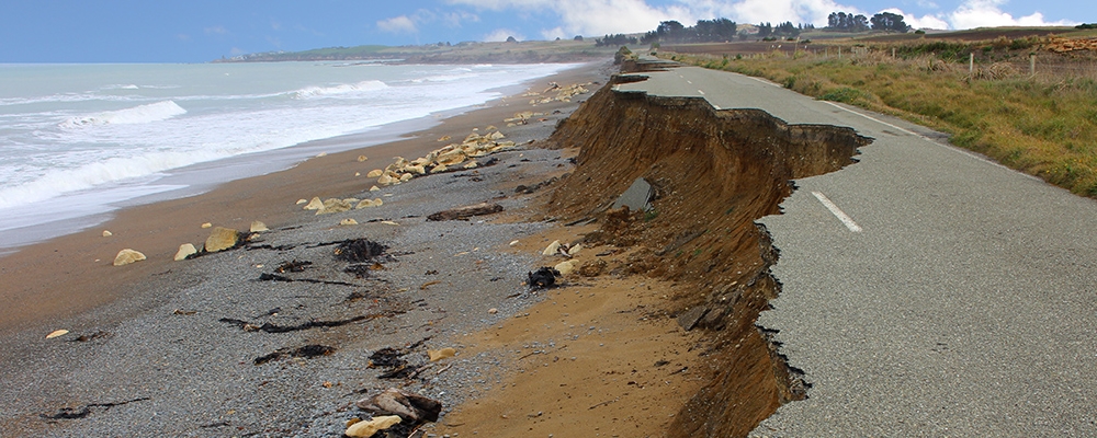
Coastal managers face intensifying environmental pressures that reshape shorelines faster than traditional monitoring can capture. Storm activity, shifting sediment transport, and altered wave regimes create constant uncertainty for communities and infrastructure positioned near the water's edge. With these forces acting at unpredictable scales, decision-makers struggle to anticipate how shorelines will evolve and which protective measures will be most effective.
Conventional inspection methods offer only brief snapshots of conditions and rarely show how sediment plumes, wave energy, or tidal cycles interact to reshape the coast. This leaves long gaps in understanding that can obscure early warning signs of erosion hotspots or structural vulnerabilities. Without real-time data revealing how conditions fluctuate throughout the day, coastal managers risk delayed interventions, missed opportunities for preventative action, and increased exposure to damaging shoreline loss.
How We Address This
Continuous Coastal Intelligence for Targeted Erosion Mitigation
A modern approach to erosion management combines autonomous sensing platforms with real-time data streams that reveal how hydrodynamic and sediment processes shape the shoreline. By monitoring the interplay between waves, wind, and suspended sediment, coastal managers gain a dynamic picture of local drivers of erosion and how they evolve across varying conditions.
Data Collection & Monitoring
A distributed network tracks wave height, wind forcing, turbidity levels linked to sediment plumes, and depth changes associated with shifting sandbars. Camera systems capture visible shoreline movement and identify areas experiencing active scouring or sediment buildup.
Actionable Insights
Patterns emerge showing how particular wave directions accelerate erosion, how storms redistribute sediment, and where turbidity surges follow strong wind or tidal events. This reveals the underlying mechanisms shaping vulnerable coastal zones and highlights early indicators of emerging erosion risks.
Impact
Managers can prioritize reinforcement efforts, schedule maintenance more effectively, and select mitigation strategies that align with actual coastal dynamics. Real-time understanding supports quick responses during storm events and long-term planning grounded in observed environmental behavior.
Recommended Systems (2)
A two-system approach provides both offshore forcing data and nearshore shoreline observations. Together, these systems reveal how offshore energy translates into local erosion patterns and where mitigation efforts should be applied.
System configuration image
System Overview
Purpose
Characterize offshore environmental drivers that influence shoreline stability. |
Deployment Context
Positioned just outside the surf zone to capture wave and wind conditions before they interact with the coastline.
Sensors
Required
Wave
Captures offshore wave energy that shapes sediment transport near the shoreline.
Wind
Tracks wind forcing that influences wave generation and surface sediment resuspension.
Important
Pressure (Depth)
Identifies subtle depth changes linked to shifting sandbars under varying wave conditions.
Nice-to-have
Camera
Provides visual context of offshore sea state patterns that inform interpretation of sensor data.