Environmental Intelligence for Fleet Operations Decision Support (Claude)
Integrated environmental sensing provides real-time metocean data for flight operations, underway replenishment, and optimum ship routing decisions.
Key Benefits
Enhanced Flight Deck Safety
Real-time wind characterization at flight deck level enables accurate SHOL calculations, reducing red deck conditions caused by faulty bridge anemometer readings.
Optimized Replenishment Operations
Continuous sea state monitoring supports CONREP and VERTREP timing decisions, minimizing order-alongside changes that devastate transfer efficiency.
Improved Ship Routing Intelligence
In-situ environmental data validates OTSR recommendations against actual conditions, reducing fuel consumption variances from forecast-to-reality mismatches.
Bridging the Gap Between Forecasts and Flight Deck Reality
Naval operations planning depends on environmental intelligence that often fails to reflect conditions where decisions matter most. The considerable difference between bridge anemometer readings and actual flight deck winds—where turbulence from superstructure interference creates far more gusty and variable conditions—means Ship-Helicopter Operating Limits calculations built on bridge data produce unreliable green deck assessments. Helicopter pilots sitting in the right seat depend on accurate relative wind data that current shipboard instrumentation cannot reliably provide.
The disconnect extends beyond flight operations to every evolution requiring precise environmental awareness. Mother Nature always gets a vote, yet fuel consumption models and UNREP planning tools rely on forecasts that diverge significantly from actual conditions. Sixty percent of SAR cases fall outside areas with high-resolution wind and current data, forcing SAROPS planners to apply leeway coefficients to drift models without validation. Meanwhile, RHIB recovery in higher sea states confronts the combined hydrodynamic effect of stern wake and water jet that no forecast captures.
Persistent Environmental Sensing for Tactical Decision Advantage
To close the gap between environmental forecasts and operational reality, naval forces require distributed sensing systems that capture conditions at the point of decision—not approximations from distant platforms or historical climatology. By integrating wind, wave, and current measurements with edge processing capabilities, commanders gain environmental intelligence calibrated to their specific operational context.
Data Collection & Monitoring
Anemometers positioned at flight deck level capture the turbulent wind conditions pilots actually experience, distinct from bridge readings affected by superstructure flow distortion. Wave sensors characterize sea state across the frequency spectrum relevant to UNREP operations and small boat recovery. Current meters provide drift data essential for SAR planning and navigation in constrained waters. Edge processing generates tactical products without requiring connectivity to shore-based facilities.
Actionable Insights
The system continuously calculates SHOL envelope boundaries using actual relative wind conditions, providing flight deck crews with accurate green deck/red deck status rather than estimates from unsuitable measurement locations. Sea state trending identifies windows where conditions support efficient CONREP without the order-alongside changes that can reduce transfer efficiency by half. Validated drift models improve SAROPS search area predictions when SLDMB deployment is impractical.
Impact
Air bosses receive SHOL calculations built on flight deck conditions rather than bridge approximations, reducing unnecessary red deck declarations while maintaining safety margins. UNREP planners can time evolutions to favorable windows identified through continuous monitoring rather than committing based on forecasts that deteriorate over the planning horizon. Navigation teams validate OTSR routing recommendations against in-situ conditions, adjusting course when reality diverges from the predictions that "weather guessers" provide.
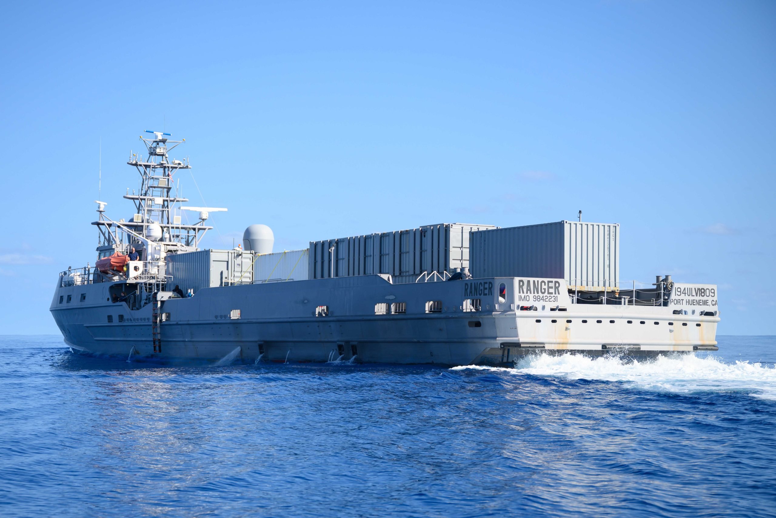
Recommended System
This architecture employs a single integrated system designed for deployment aboard surface combatants and logistics vessels. The system provides the comprehensive environmental picture needed to support flight operations, replenishment planning, and navigation decisions from a unified sensing platform positioned to capture conditions at operationally relevant locations.
System configuration image
System Overview
Purpose
Continuous metocean characterization supporting flight deck operations, underway replenishment, and optimum track routing decisions.
Deployment Context
Permanently installed aboard combatants and logistics vessels with sensors positioned at flight deck level and hull-mounted locations to capture operationally relevant conditions.
Sensors
Required
Wind
Essential for SHOL calculations; flight deck positioning captures turbulent conditions that differ dramatically from bridge anemometer readings.
Wave
Critical for sea state assessment driving UNREP feasibility, RHIB recovery safety, and ship motion predictions affecting all deck operations.
Important
Pressure (Barometric)
Supports local weather nowcasting and trend analysis for planning evolutions hours ahead; validates received forecasts against actual conditions.
Nice-to-have
Temperature
Supports cold exposure survival modeling for SAR operations; enables cold shock risk assessment when personnel may enter the water during flight or boat operations.